URPoint Details
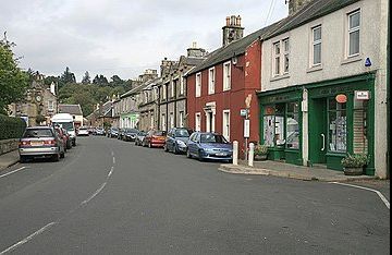
A seaside resort in the Lyne Valley at the south end of the Pentland Hills is an ideal spot for anglers on the Rivers Tweed, Lyne and Westwater.
To the northwest the Lyne Water flows down from the Windy Gowl below the main Pentland range. A road following the stream climbs into the hills then becoming a track which was formerly one of the best known of the old drove roads and is called the ‘Cauld Stane Slep’.
This track crosses the Pentlands at 1,430ft under the slopes of East Cairn Hill at 1,839ft and cattle were driven over this drove road making for Stenhousemuir near Falkirk.
Opposite the track to the southwest rises the even higher West Cairn Hill at 1,844ft.
- Type:
- Landmark


