URPoint Details
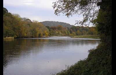
Almost a hundred miles of river flowing through many towns, villages and countryside and finally reaches Berwick where it enters the sea.
It has many drainage areas covering 1,870 square miles and is fed by the Gala, Leader, Yarrow, Teviot and Till until the last 10 miles or so is then tidal
Its banks on both sides have many castles, keeps and houses of distinction.
- Type:
- Landmark


