URPoint Details
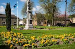
The town founded in 1797 as a weaving centre in the delightful Liddesdale valley on the Liddel Water which forms the boundary between England and Scotland.
To the northeast are the Larriston Fells at 1,677ft beyond which rise the Cheviots.
To the northwest is Roan Fell rising to 1,862ft.
To the southwest is Mangerton Tower, (a ruin with only one floor remaining) was one of the many Border fortresses that once guarded this area.
- Type:
- Landmark


