URPoint Details
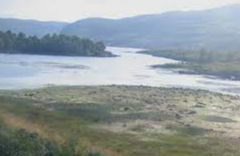
Extending for 6 miles (10 km) in a northwest-southeast direction and with a maximum width of a mile (1.7 km), it was dammed to generate electricity in 1954, as part of the Conon Hydro-Electric Power Scheme. It receives the River Bran from the west and is the source of the River Conon to the southeast.
Copyright: https://www.scottish-places.info
- Type:
- Landmark


