URPoint Details
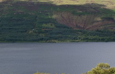
A loch located in the north of the island of Mull, 4 miles (6 km) south of the settlement of Tobermory.
Stretching to a length of 5 miles (8 km), this loch is bordered to the east by the Salen Forest and the peak of Speinne Mor.
The Ledmore River, which becomes the Aros River, flows from the southeastern end of the loch.
The loch is fished for brown trout.
- Type:
- Landmark


