URPoint Details
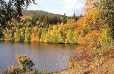
Loch Faskally Gaelic: Loch Faschoille A man-made reservoir 2.5 kilometres (1.6 mi) northwest of Pitlochry. The loch lies between steeply wooded hills and is approximately 3.2 kilometres (2.0 mi) in length, narrowing to around 700 metres (770 yd) wide. The loch is retained by the Pitlochry Dam providing water for the Tummel Hydro-electric Power scheme. The dam incorporates a salmon fish ladder, allowing around 5,400 salmon to ascend annually and is popular with anglers who fish for brown trout, pike and salmon.
- Type:
- Landmark


