URPoint Details
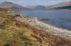
Loch Fannich is a remote loch in Ross-shire and is located 12 miles west of Strathpeffer
It was dammed and its water level raised as part of the Conon Hydro-Electric Powe rScheme, built by the North of Scotland Hydro-Electric Board between 1946 and 1961.
An underground water tunnel leading from Loch Fannich to the Grudie Bridge Power Station required blasting out a final mass of rock beneath the loch, a procedure which was referred to popularly as 'Operation Bath plug'.
- Type:
- Landmark


