URPoint Details
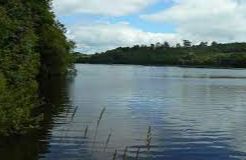
A long narrow loch and former reservoir on the Island of Bute, and extends southwestwards for nearly 1 mile (2.5 km) along the line of the Highland Boundary Fault.
To the south of Rothesay Kirk Dam extends the loch for a further mile (1.5 km) at its northeastern end. Engineer Robert Thom (1774 - 1847) diverted water into Loch Fad to power Rothesay's cotton mills, which were on the brink of bankruptcy due to the cost of importing coal.
Loch Fad provides excellent fishing, being well stocked with rainbow and brown trout.
- Type:
- Landmark


