URPoint Details
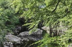
Linn of Tummel is a 19-hectare (47-acre) woodland property at the confluence of the rivers Garry and Tummel, near Pitlochry and is owned and maintained by the National Trust for Scotland, and is adjacent to the Trust's property at Killiecrankie.
The name Linn of Tummel comes from the Scots Gaelic and means "pool of tumbling stream" The name comes from the fact that the River Tummel used to drop down over a fall to meet the River Garry; however, in 1950 the fall ceased when a new hydro-electric plant raised the level of both rivers and created Loch Faskally. The property includes a network of more than 30 miles (48 km) of footpaths amongst which is an obelisk commemorating the visit of Queen Victoria in 1844.
The wildlife include pine martens and otters, while the flora includes pearl-bordered fritillary and lily of the valley.
- Type:
- Landmark


