URPoint Details
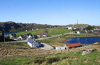
A busy fishing port with two harbours and at Oldshore More, two miles northwest is a fine bay where King Hakon IV of Norway anchored his fleet when he tried to invade Scotland in 1263.
Beautifully situated on Loch Inchard on a narrow and winding road leading northwest from Rhiconich with splendid views towards the lonely mountains of the Forest of Reay dominated by Foinaven at 2,980ft.
The road carries on for a few miles towards the open sea giving fine views and ending beyond Balchrick at the little fishing village of Sheigra Lofty cliffs, with detached stacks of red Torridon sandstone overlook the reddish sands of this little visited bay.
- Type:
- Landmark


