URPoint Details
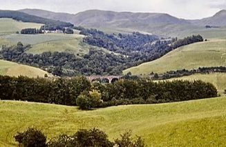
The village sits beside the White Esk where the roads from both Lockerbie and Langholm meet at the northern end of the picturesque Eskdale.
The road continues north through lonely hill country with Ettrick Pen at 2,269 to the west leading to the valley of the Ettrick Water and reaching a height of nearly 1,100ft.
To the north of the church is the Roman Camp of Raeburnfoot.
- Type:
- Landmark


