URPoint Details
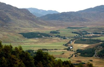
Situated in the lonely valley of the Upper Spey roads from Dalwhinnie and Newtonmore meet on their way through Strath Mashie to Loch Laggan.
To the west is the old Wade road to Fort Augustus over the Corrieyairack Pass and a few miles farther on beyond Loch Crunachan is Wade's Garva or St George's Bridge constructed in 1732 over the Upper Spey.
To the northeast beyond Laggan Church and bridge is Cluny Castle the ancient seat of the Cluny Macpherson, with whom Prince Charles Edward his in a cave after Culloden in 1746 with the lonely Monadhliath mountain in the background with Carn Dearg rising to 3,093ft.
To the south side of the Spey near Glen Truim estate, a little to the southeast of Cluny Castle, is a stone with some arrow markings, situated by the road, said to be the geographical centre of Scotland.
- Type:
- Landmark


