URPoint Details
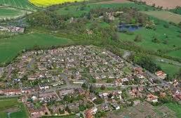
The village lies in the valley of the river Waveney which flows in an easterly direction then it turns north and eventually reaches the sea via Breydon Water.
Surrounded to the south and east by the river and the marshes. This corner of the country is further isolated by the A143 road leading to Great Yarmouth, which bisects the three villages of Aldeby, Wheatacre and Burgh St Peter.
- Type:
- Landmark


